Erleben Sie Norwegens beliebte Sehenswürdigkeiten


Entdecken Sie Norwegens beliebteste Sehenswürdigkeiten


Unsere Lieblings-Sightseeing-Touren


Erleben Sie Norwegens berühmte Naturphänomene
Häufig gestellte Fragen zu Norwegens Sehenswürdigkeiten
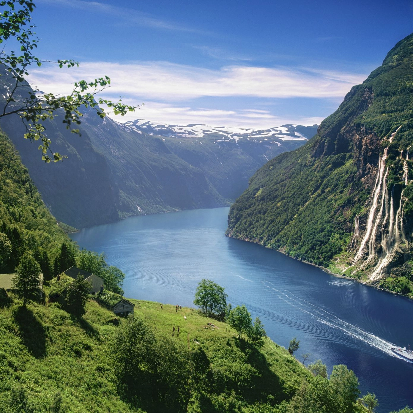
Norwegens beliebteste Wasserfälle


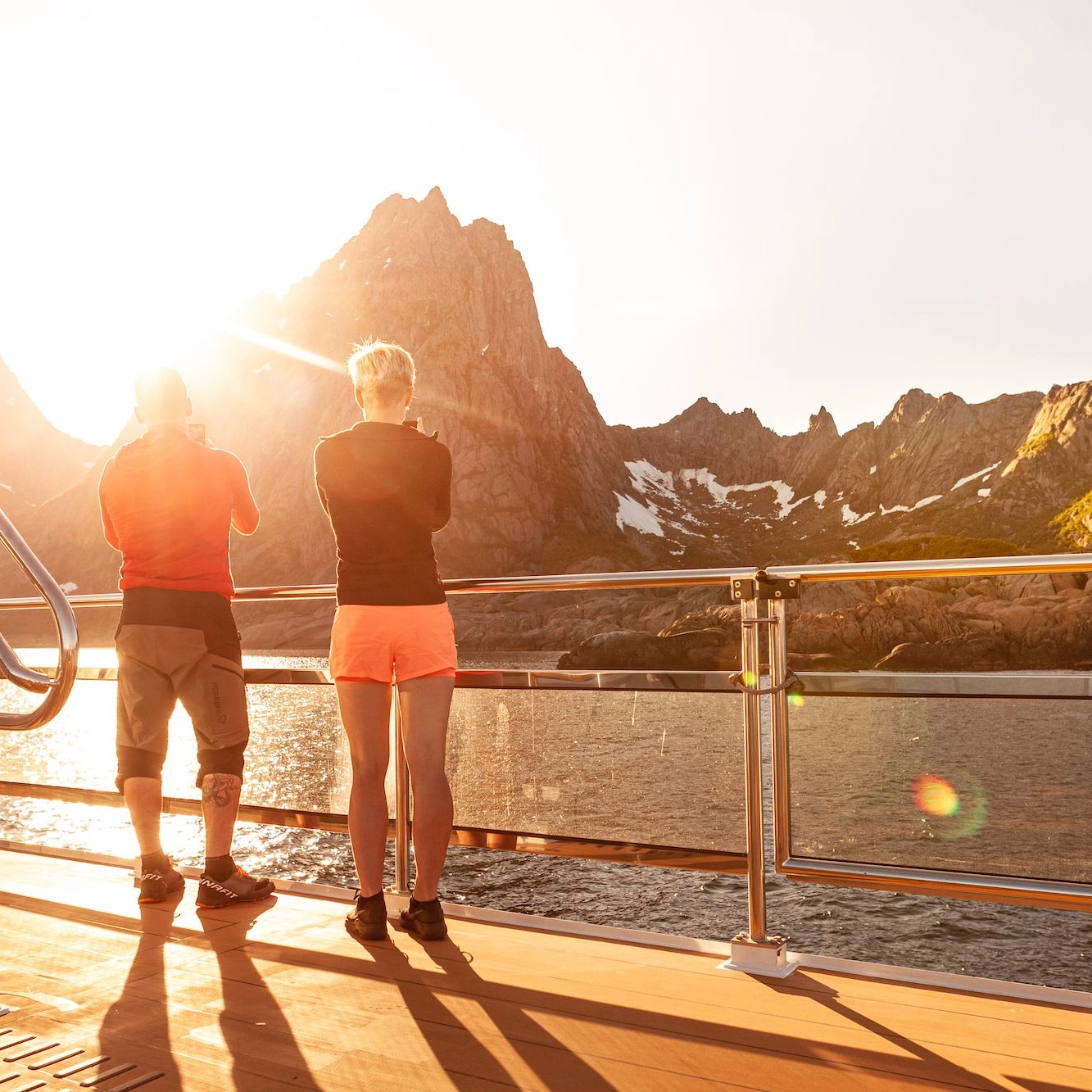
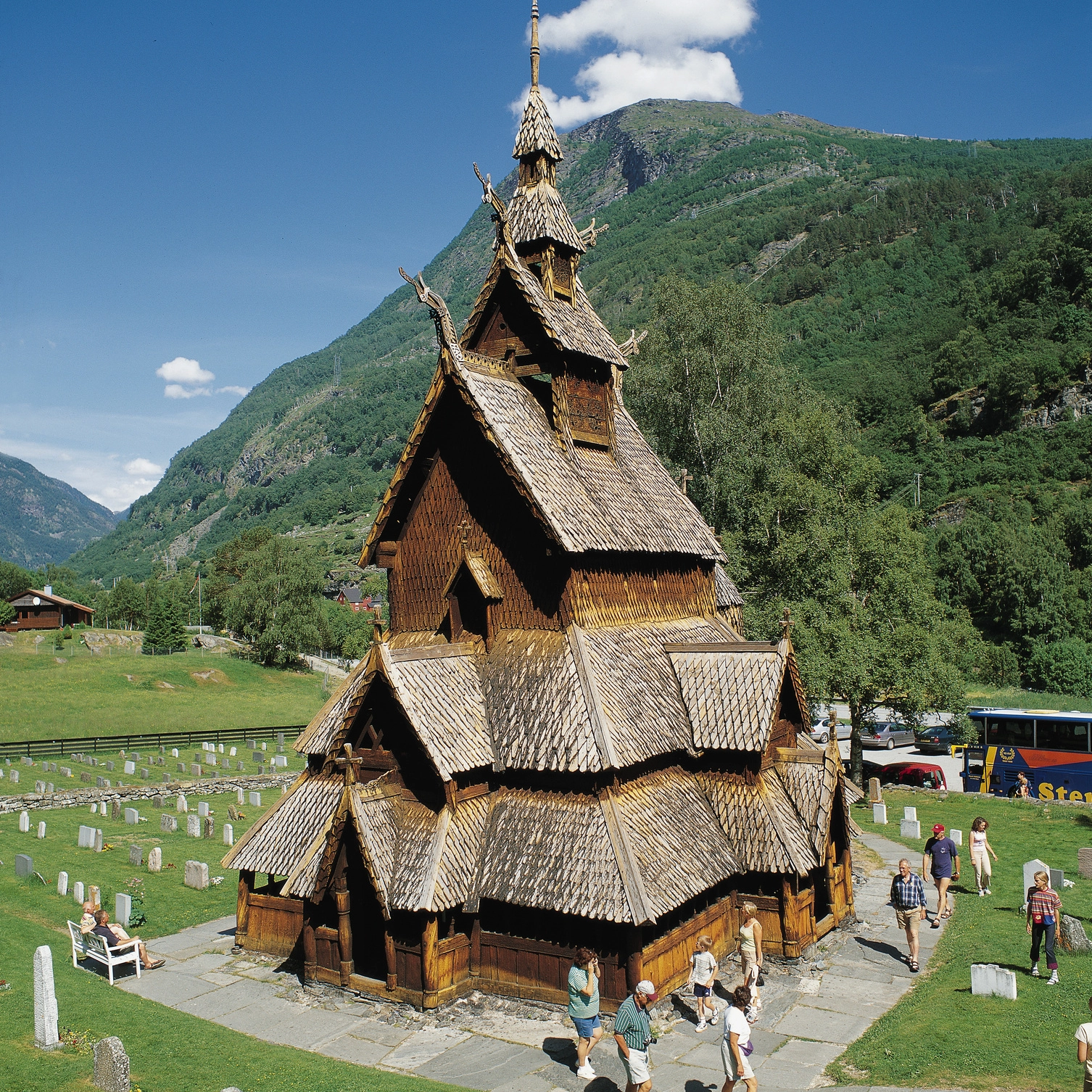
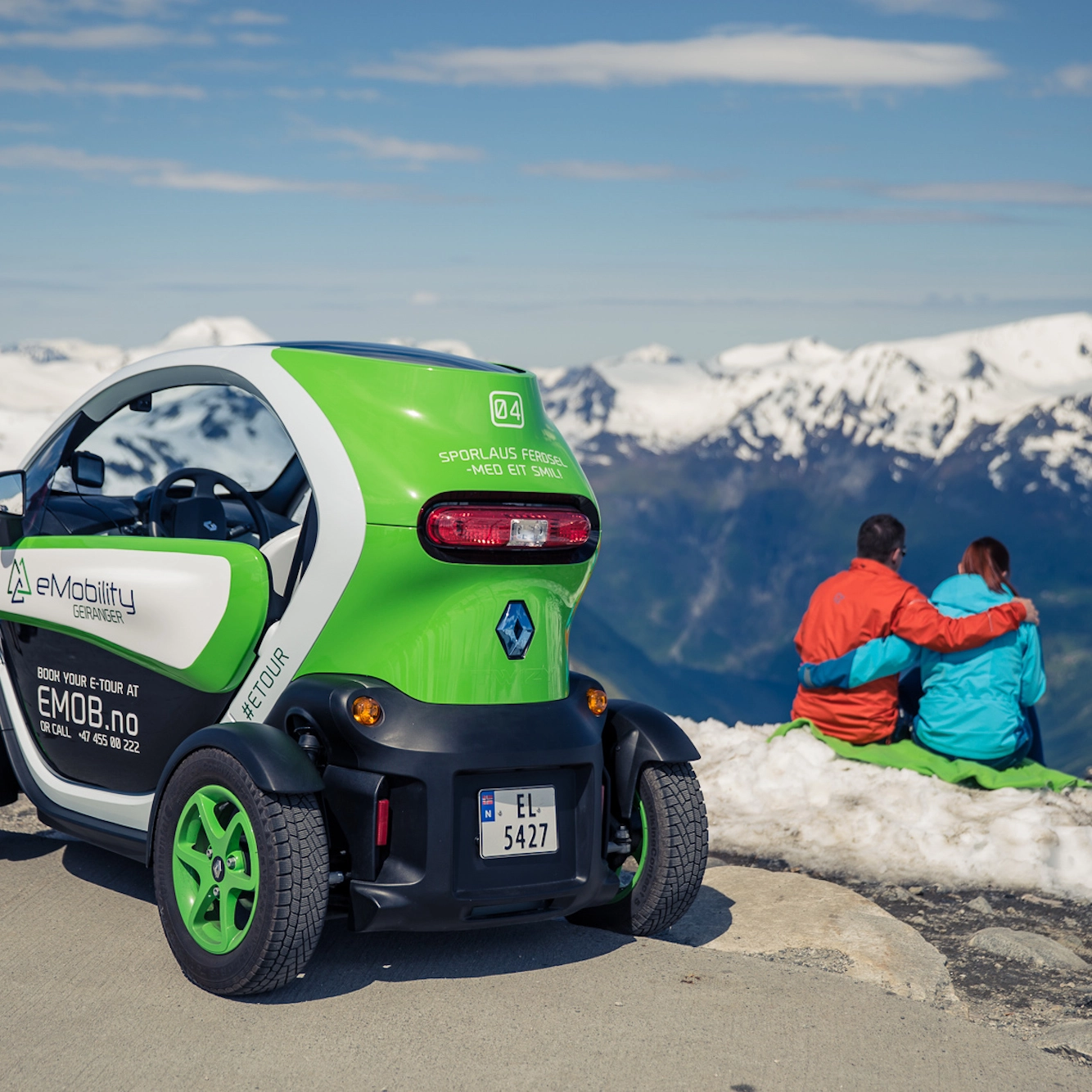
Spektakuläre Sehenswürdigkeiten in Norwegen
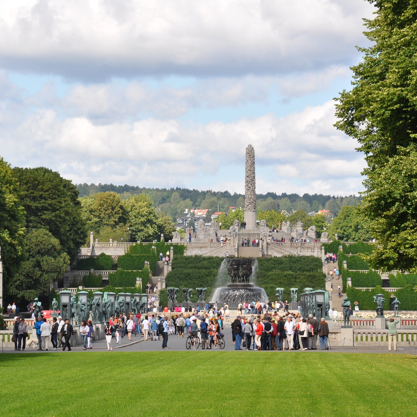
Vigelandpark in Oslo
Der Vigeland-Skulpturenpark ist der größte Park der Welt, der von einem einzigen Bildhauer geschaffen wurde. Die Anlage ist Teil des Frognerparks drei Kilometer nordwestlich des Osloer Stadtzentrums.

Bryggen und Bergen Fischmarkt
Wenn Sie in Bergen sind, ist der Besuch in Bryggen ein Muss. Vor über 400 Jahren beherbergte Bryggen ein Kontor der Hanse, die den Handel in Nordeuropa beherrschte. Heute ist das Viertel mit seinen einzigartigen Häusern Weltkulturerbe der UNESCO, Der Fischmarkt in Bergen ist einer der berühmtesten Plätze in der Stadt. Schlendern Sie über den betriebsamen Markt und schauen Sie sich die frischen kulinarischen Schätze aus dem Meer an.
Land der Mitternachtssonne
Norwegen ist berühmt für seine natürliche Schönheit und wird auf der ganzen Welt auch als „Land der Mitternachtssonne“ bezeichnet. In den nördlichsten Regionen des Landes kommt es zu einem bemerkenswerten Naturphänomen, bei dem die Sonne im Sommer mehrere Monate lang scheint. In diesem Artikel erzählen wir Ihnen alles über dieses interessante Phänomen und verraten Ihnen, wie Sie die Mitternachtssonne selbst erleben können!
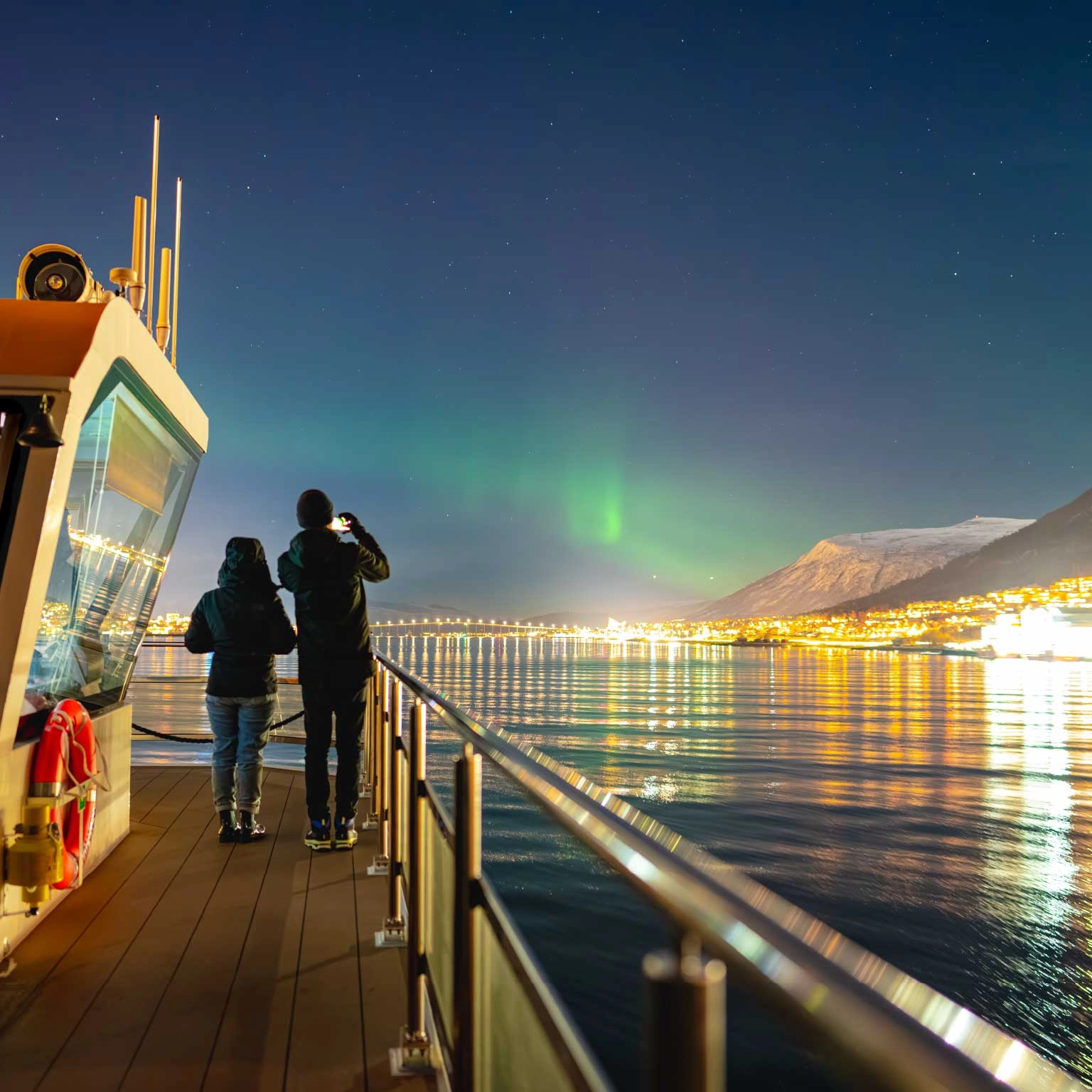
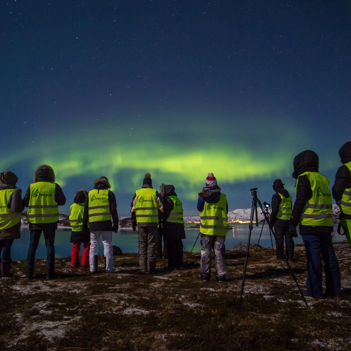
Die Nordlichter
Das Nordlicht oder die Aurora Borealis ist ein spektakuläres Naturphänomen, das selbst den kritischsten Betrachter in Erstaunen versetzt. Aber wie passiert das und wo kann man die schönste Lichtshow der Natur sehen?