Maps of Norway

- Norgeskart.no: Offers and open and free map solution where you can zoom all the way in to municipality, hiking areas, houses and properties (Only in Norwegian)
- The Norwegian Trekking Association: Topographic maps that show the details of terrain as well as trekking routes and lodging facilities
- Michelin: The Michelin maps service for Norway
- Google Maps: Well know map service used all over the world
Get inspired!
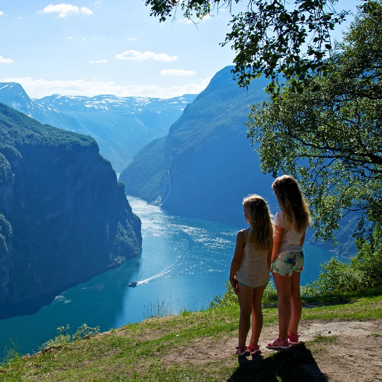
Norway´s famous fjords
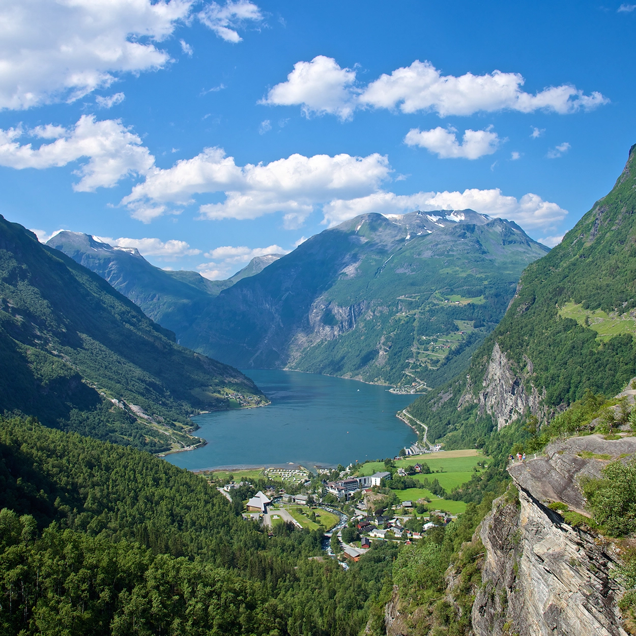
It’s no secret that Norway is famous for its magnificent fjords. No trip to Norway would be complete without a visit to one of the world-famous fjords! We’ve put together a list of the most famous and beautiful fjords Norway has to offer, so you can plan your next trip to our fair land.

Sognefjord in a Nutshell™ highlights
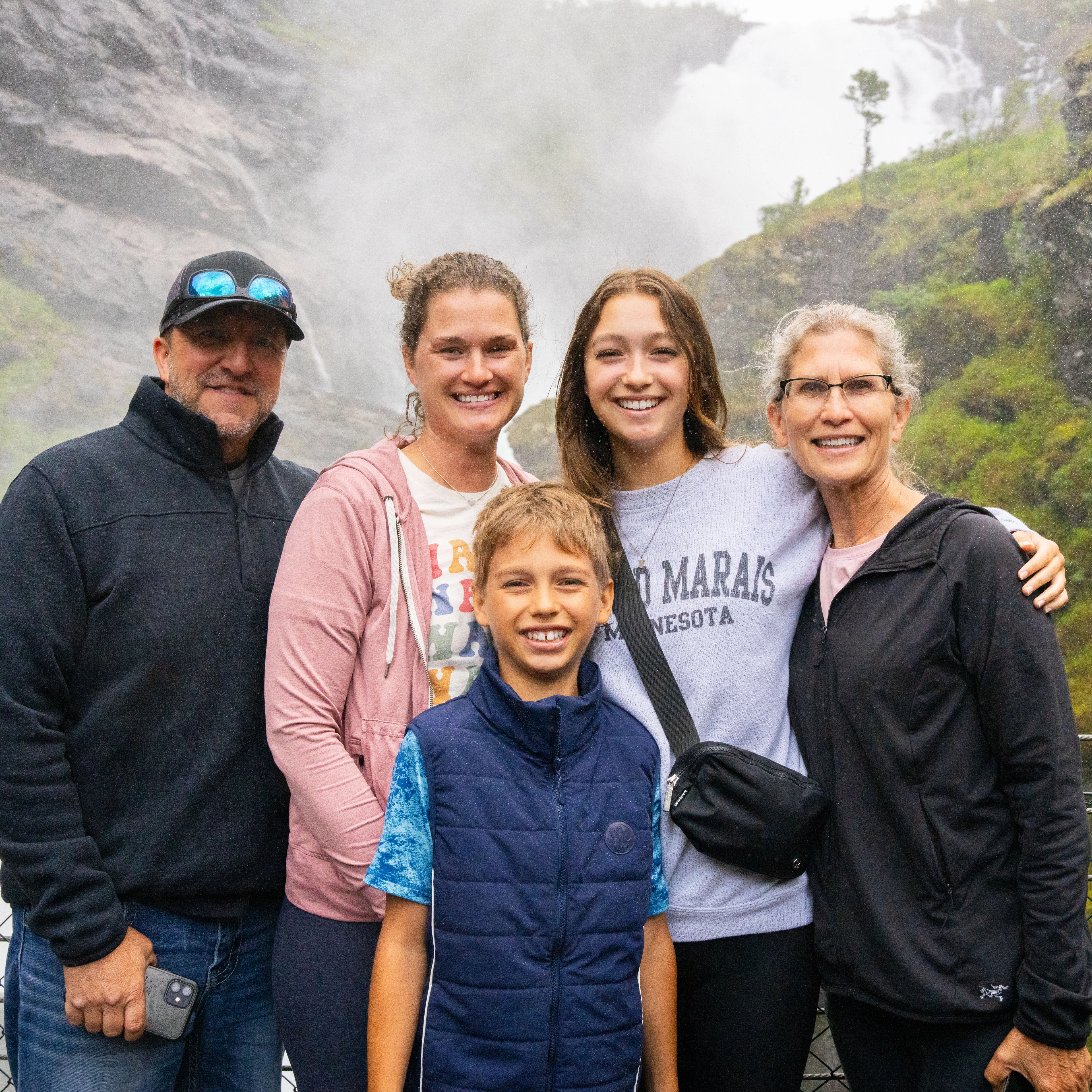
The Ledleys experienced Flåm and the famous Norwegian fjords on their visit to Norway. This is the very best experiences on the Sognefjord in a Nutshell tour.
The Flåm Railway - one of the world's best train journeys
Lonely Planet named it the best train journey in the world. Norway's Flåm Railway is a truly unique experience of breathtaking nature and quaint fjord villages. "It's so powerful and dramatic," says Audrey Olson, who experienced the train journey as part of the Sognefjord in a Nutshell tour.
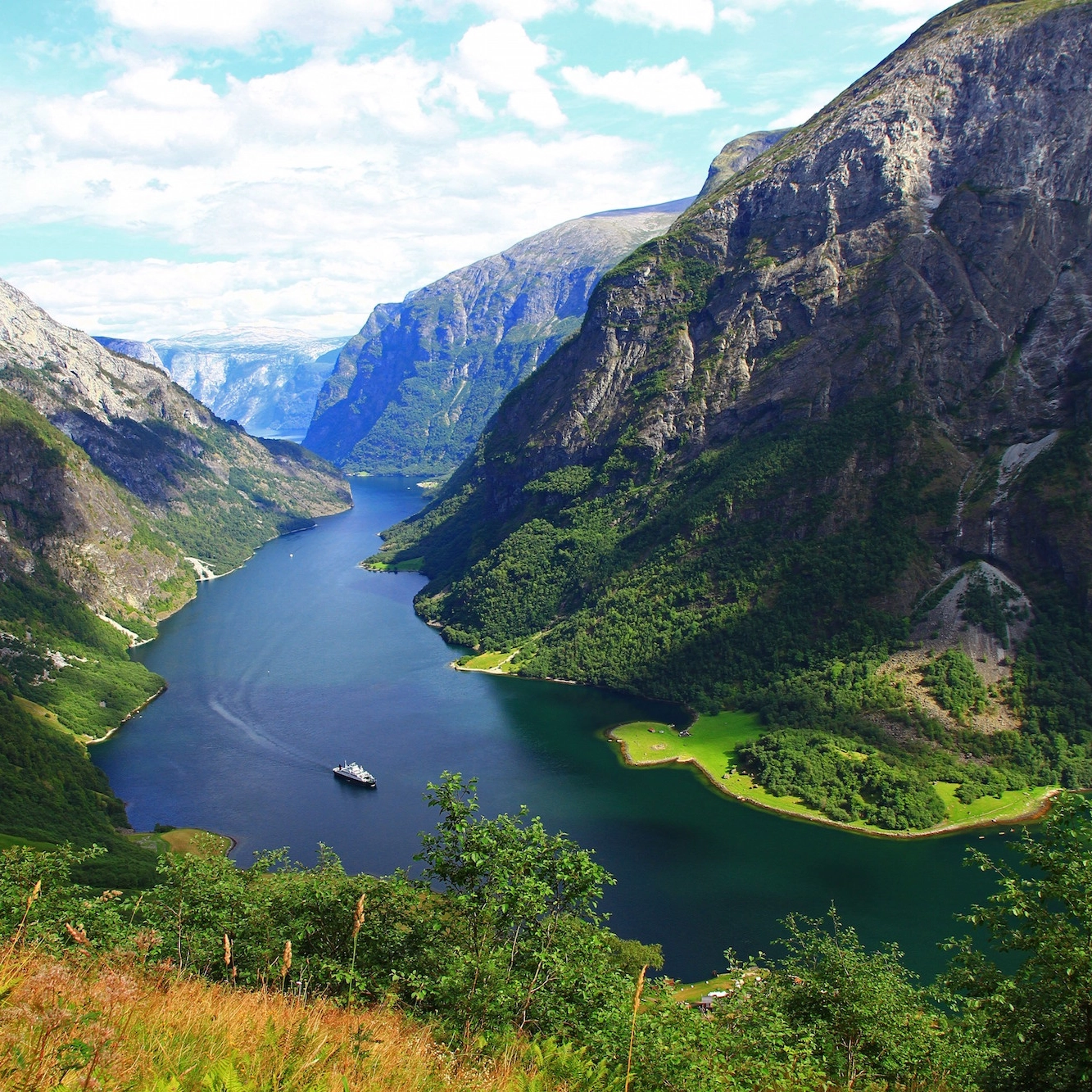
A fjord for everyone
It seems like everywhere you look in Norway, there is another amazing fjord full of dazzling sights and experiences. With over 1,100 fjords throughout the country, even most locals have not seen them all. But, when you visit Norway, going on a fjord safari is an absolute must since they are such a big part of the country’s identity.
